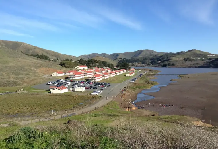
Angel Island is close enough to see from many Bay Area viewpoints, but visiting it requires a more deliberate plan than stepping off a ferry into a town. There is no road or bridge from the mainland, services are limited, and the last boat sets a real boundary around the day. Choose one main purpose: immigration history, a longer hike, or a relaxed visit around Ayala Cove. That decision makes it easier to choose a sailing and avoid spending the afternoon watching the clock.
Match the ferry to the day you want
Public ferries operate from San Francisco and Tiburon through different operators. Check the exact route, travel date, ticket terms, and return sailings before booking. A San Francisco departure can simplify the trip if you are staying in the city; reaching Tiburon first creates another transport leg. Save the timetable and plan to be back at the landing well before your chosen boat. The island is not a place to assume that an on-demand car or another convenient departure will solve a missed return.
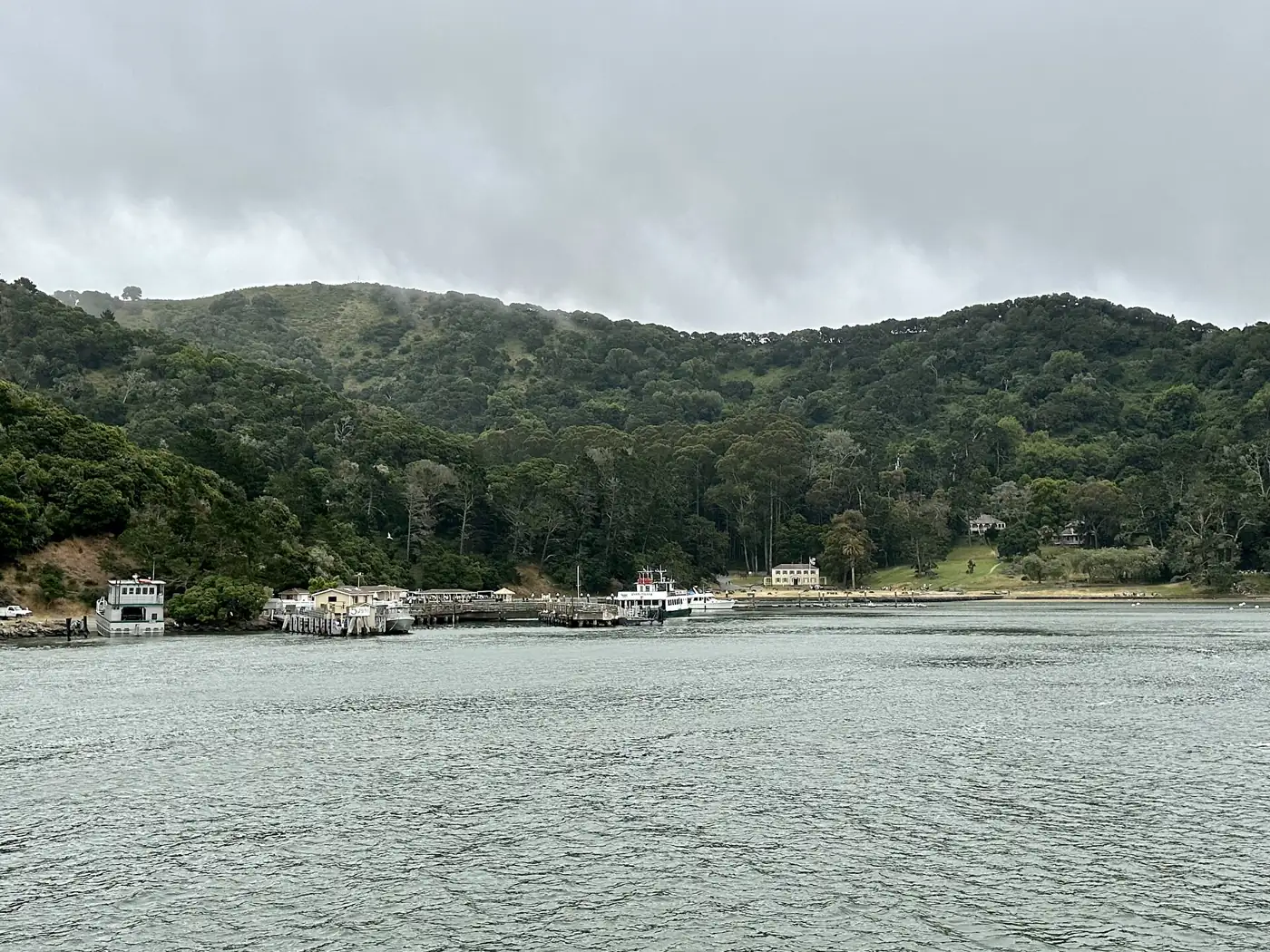
Use Ayala Cove as your starting point
Ferries arrive at Ayala Cove, where you can orient yourself and check park information before walking farther. The cove provides a gentler focus for visitors who prefer a picnic and shoreline time to a major hike. California State Parks describes picnic facilities and the services available near the landing. Food, rentals, shuttles, and tram operations can be seasonal or limited, so bring what you need rather than relying on every service being open. Confirm the day’s conditions with park staff when you arrive.
Give the immigration history enough time
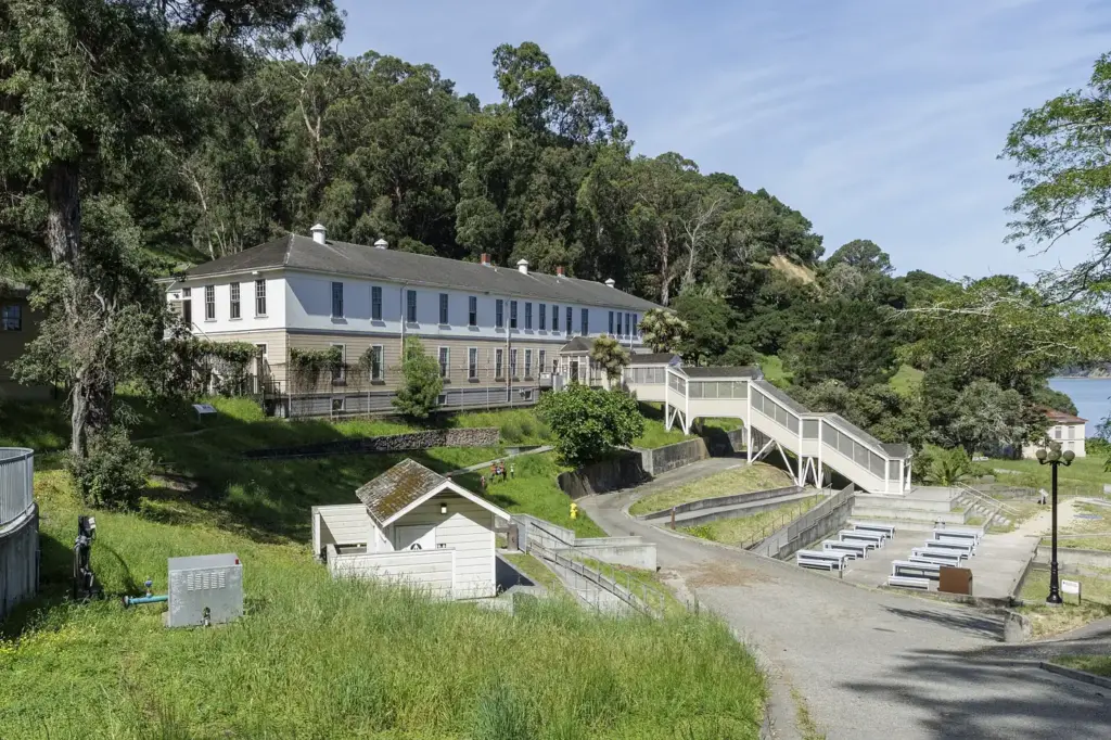
The U.S. Immigration Station is a significant historic destination, not simply a quick photo stop. Check museum opening days and tour arrangements before choosing your ferry. The approach from the dock involves hills; the shorter walking route includes stairs, while the alternative is longer. California State Parks publishes route and mobility information that is more useful than a straight-line distance on a map. Allow time to read the exhibits and understand the site’s history, then leave a comfortable buffer for the return walk.
Choose a hike that matches your group
The park offers routes around the island and toward Mount Livermore, but combining every viewpoint and historic stop is an ambitious plan. Start with the official map, compare the terrain, and decide where you will turn around if your pace is slower than expected. A summit outing and an in-depth museum visit may compete for the same hours. Choose the experience that matters most. If the weather limits distant views, a shorter route with time to notice the island landscape can still be worthwhile.
Resolve mobility questions before travel
A ferry arrival does not mean every island attraction is easily accessible from the dock. The park’s historic-site guidance describes steep sections, stairs, and restrictions on bicycles at the immigration site. Shuttle and assisted transport options require particular attention to availability and advance arrangements. Contact the park and operator about your needs before purchasing a trip built around a specific destination. This is especially important if someone cannot manage a long uphill walk or transfer between different kinds of vehicles.
Pack for a self-contained outing
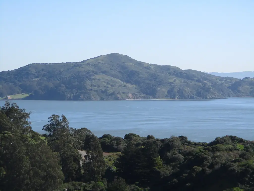
Bring water, food, weather layers, and a bag you can carry comfortably. Save an offline map and the return timetable, and keep your phone charged for tickets and practical information. Choose footwear suited to the route you have selected, not just the ferry ride. Carry out your rubbish and follow the park’s posted rules around trails, wildlife, and historic buildings. If you intend to picnic, keep the food plan simple enough that you can finish, pack up, and return to the landing without rushing.
Turn back earlier than you think you need to
Set a turnaround time before beginning the main walk. Reassess it when you reach a junction, museum, or picnic stop. The return can take longer when people are tired or stop to look at a view they missed on the way out. Keep the preferred ferry as the plan and avoid relying on the final sailing as a casual backup. Arriving at Ayala Cove with spare time is a pleasant way to finish; arriving at the dock after the boat has gone is not an itinerary adjustment.
Keep exploring
For a mainland destination with more flexible food and walking options, see our Sausalito itinerary. Our ferry guide explains how to compare operators and terminals.