The Marin Headlands look close to San Francisco, yet a good visit requires more preparation than a city waterfront walk. Roads, trailheads, historic sites, and viewpoints are spread across hilly terrain, and mobile reception can be unreliable. Choose one main area, check current access, and arrange a dependable way back. A coastal walk or a visit around Rodeo Beach can make a complete day without adding every viewpoint and lighthouse you have seen in photographs.
Choose one area as the main destination
Begin with the National Park Service map and decide what you most want to experience. Rodeo Beach and the Fort Cronkhite area offer a coastal setting; other parts of the Headlands focus on ridge views, military history, or longer trails. These places are not all easy additions to the same short visit. Pick one anchor and a nearby optional stop. If fog obscures distant views, a route with interesting landscape or historic context can still work better than a plan built entirely around one panorama.
Do not rely on an old bus itinerary
Older guides often mention the 76X Marin Headlands Express. The Parks Conservancy’s transport page lists that route as out of service until further notice, so do not assume it will provide a weekend trip. Check the current SFMTA route information before planning around any reinstated service. If you are not driving, a confirmed tour or an arranged round trip may be more practical. A one-way ride drop-off is not a complete transport plan, particularly where reception and return availability are uncertain.
Know what a bridge visit does and does not solve
Public transport to the Golden Gate Bridge’s San Francisco side can support an excellent bridge and Presidio outing. It does not automatically deliver you to Rodeo Beach or the interior Headlands. Likewise, walking across the bridge is a separate undertaking from reaching a distant trailhead. Check the full route, terrain, sidewalk access, and return before connecting them. If the transport details do not work, choose the south-side bridge experience for this day and save the Headlands for a visit with dependable access.
Use Rodeo Beach as a manageable focus
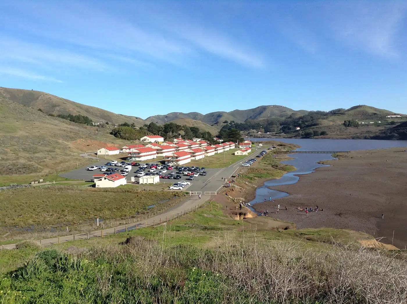
Rodeo Beach lies beside the lagoon and the former Fort Cronkhite area. The National Park Service describes it as a useful starting point for exploring this part of the Headlands. Choose a walk that matches the conditions and your group’s ability, staying on designated routes and observing posted restrictions. The lagoon is sensitive habitat, not an extension of the beach for roaming. Bring binoculars if you enjoy watching wildlife from a distance, and leave natural objects where they belong rather than collecting them as souvenirs.
Check Point Bonita before adding it
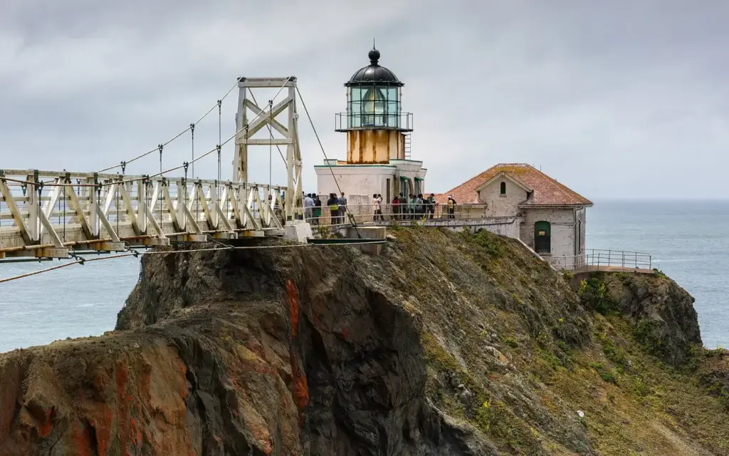
Point Bonita is not a reliably open, anytime attraction. The National Park Service publishes limited access information for the trail and viewing platform, and the suspension bridge to the lighthouse has been closed until further notice. Check the current page and calendar before making the lighthouse the purpose of your trip. A photograph of visitors crossing the bridge may show an earlier access arrangement. If the site is unavailable, select another confirmed stop rather than attempting to pass a closure or improvise a route around it.

Pack for a place with limited services
Carry water, food, layers, and a map that remains available offline. The park warns that mobile service can disappear in parts of the Headlands and that food options are limited. Wind and fog can change the comfort of an exposed viewpoint quickly. Choose footwear for the trail rather than the drive, and keep the route within the daylight and energy available to your group. Check accessibility information if uneven surfaces or slopes affect your plans. Do not assume every scenic overlook has a gentle approach from parking.
Protect the return as carefully as the outward trip
Set a turnaround time and keep the return location clear to everyone in the group. If you arranged transport, confirm the meeting point, time, and what to do if reception fails. Drivers should review road conditions and parking information, then avoid stopping in a way that blocks a road or trail access. Shorten the route if conditions deteriorate or the group slows down. A successful Headlands visit is not measured by the number of stops; it is a day with enough margin to appreciate the coast and leave comfortably.
Keep exploring
If you prefer a simpler car-free day across the bay, consider our Sausalito ferry outing. For a planned island walk, see the Angel Island guide.